Sun 18 May 2014
 |
| Red Pike and Dodd from High Stile |
Andrew picked me up at 6:30 and drove to Buttermere. Our climb through Burtness Wood as far as Bleaberry Tarn was reasonably easy, and that to the depression between the summit and Dodd; but the steep and loose surface of the track from thereon was very different.
 |
| The path from Bleaberry Tarn |
 |
| Andrew paid a visit to Dodd, for the form |
What a struggle! The top section had had no erosion treatment, and there was little for the boots to grip on and it was difficult for me to balance, especially with a strong and blustery wind. I found it really tricky, and dared not stand upright, making slow progress on all fours! That it should come to this! What a difference from two weeks ago when I strolled up to Scafell Pike as if it had been a walk in the park! Andrew had no problems and I had to swallow my pride hearing him giving me advice and being sympathetic! Others overtook us on the steep part, moving easily.
 |
| Have you ever felt like just lying down to expire? |
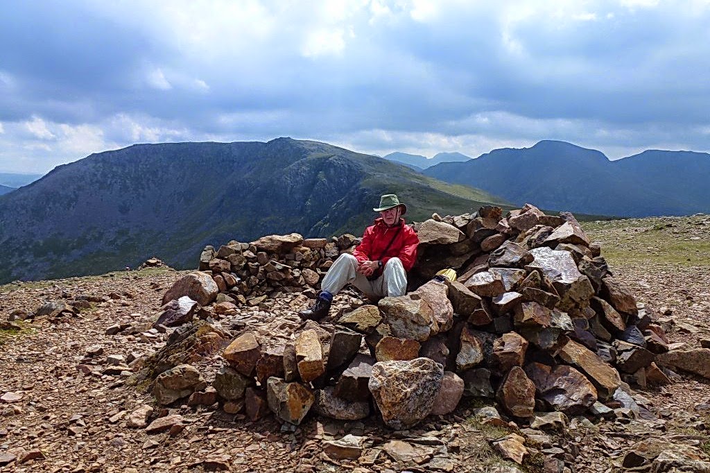
At long last with enormous relief, as far as I was concerned, we reached the exposed summit. It was cold and the wind unrelenting.
 |
| Easy ridge walking to High Stile |
 |
| Bleaberry Tarn from the summit |
We set off with the wind behind us over easy ground and found shelter for a snack before continuing the stony rise to High Stile.
 |
| High Stile |
We dropped down a little to view the route taken up to Red Pike: it was easy to see why I had found it difficult!
 |
| Doesn't look like a gentle stroll, does it? |
 |
| Summit cairn on High Stile |
After touching the summit cairn, (although AW says the highest point is in doubt) we set off along the mile-long ridge to High Crag. After my problems on the way up to Red Pike it is difficult to imagine that the last time I came up to High Crag was by way of Wainwright’s route he dubbed “Sheepbone Rake”. I had found it very easy but earlier today looking up at the route from the valley I was amazed I had been able to make it. We had no intention of descending by that route, nor of searching for it.
 |
| Cairn on High Crag |
 |
| Eagle Crag from High Crag north east spur |
We still had a long
way to go and the steep descent of the south east ridge over Gamlin End wasn’t
too inviting. It looks risky from above, it is uncomfortable when on the descent, and it looks absolutely impossible from below! But we managed it. We resisted the temptation to take the
short cut down by the wall to omit Seat, because we had originally intended to
include Haystacks if there were time. (Chris Jesty’s comment about this
alternative route having ‘gone out of use’ is odd: it is a clear path and we saw two
people on it today).
We met a
young woman coming up on the way over Seat, as we were gingerly stepping down
the path. When we reached Scarth Gap we looked for her on Gamlin End and were
astonished to see she had already made it almost to the top! It really does
look to be an impossible route from below.
 |
| High Stile from Scarth Gap |
In spite of attempting to suggest the unrelenting steepness in the above photo by the use of Photoshop you have to be there to really appreciate it. I think Andrew would
have been inclined to start up to Haystacks; but I certainly couldn’t have done
it. And anyway, under the grey sky and in the time available there was no way we
could do full justice to such an interesting fell. It will have to wait for a
beautiful sunny day.
 |
| Sitting down again! |
It was a long walk down to the lake, but very beautiful as
the field below was full of bluebells. It had been a tiring outing, but
the last mile alongside the lake proved a pleasant and easy end to a strenuous
fell walk.


